India States


India Navy Ranks
December 2, 2019

India Sweets
December 18, 2019India is a prosperous country with 29 states and 7 Union territories. Every state of this country has a unique charm, a unique history and a unique culture, which makes it stand apart from the rest.
You meet multilingual people, delve into their faiths, understand their cultures and savour their cuisines. States of India offer diverse geographical experiences to travellers.
Beach lovers can enjoy the pleasure of sun, sea and sand in states like Goa, Chennai and Kerala. These states house the most immaculate beaches where sun shines with all its grandeur.
Then there are states like Jammu and Kashmir, Uttaranchal and Himachal Pradesh which bring out the most enchanting facets of nature.
Those looking for culturally rich states of India, Rajasthan, Punjab, Gujarat, Haryana and Bihar top the charts. The locals of these states follow their cultures and religions by heart which can be seen in their traditional attires, festivals and lifestyle.
States:
| States | Facts | Places to visit |
|---|---|---|
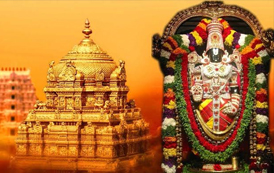  |
1. Zone: Southern 2. Capital: Hyderabad Amaravati 3. Area: 160,205 (km2) 4. Official languages: Telugu |
1. Visakhapatnam 2. Tirupati 3. Vijayawada 4. Chittoor |
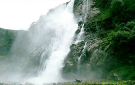  |
1. Zone: North-Eastern 2. Capital: Itanagar 3. Area: 83,743 (km2) 4. Official languages: English |
1. Ziro Valley 2. Namdapha National Park 3. Nuranang Falls 4. Gorichen Peak |
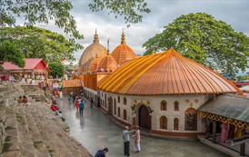  |
1. Zone: North-Eastern 2. Capital: Dispur 3. Area: 78,550 (km2) 4. Official languages: Assamese |
1. Guwahati 2. Jorhat 3. Sualkuchi 4. Hajo |
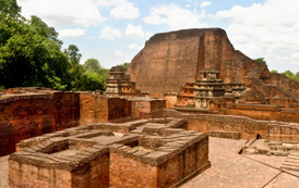  |
1. Zone: Eastern 2. Capital: Patna 3. Area: 94,163 (km2) 4. Official languages: Hindi |
1. Gaya 2. Nalanda 3. Vaishali 4. Patna |
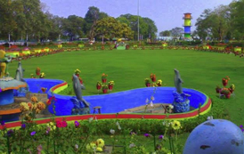  |
1. Zone: Central 2. Capital: Naya Raipur 3. Area: 135,194 (km2) 4. Official languages:Hindi |
1. Chitrakot Waterfall 2. Achanakumar Wildlife Sanctuary 3. Maitri Bagh |
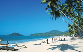  |
1. Zone: Western 2. Capital: Panaji 3. Area: 3,702 (km2) 4. Official languages:Konkani |
1. Anjuna Beach 2. Calangute Beach 3. Basilica of Bom Jesus 4. Chapora Fort |
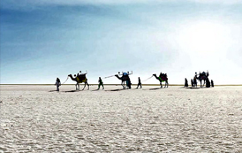  |
1. Zone: Western 2. Capital: Gandhinagar 3. Area: 196,024 (km2) 4. Official languages: Gujarati |
1. Gir National Park 2. Dwarkadhish Temple 3. White Desert 4. Sabarmati Ashram 5. Somnath Temple |
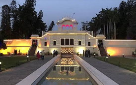  |
1. Zone: Northern 2. Capital: Chandigarh 3. Area: 44,212 (km2) 4. Official languages:Hindi |
1. Kurukshetra 2. Pinjore 3. Morni Hills 4. Chandigarh |
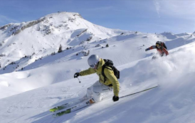  |
1. Zone: Northern 2. Capital: Shimla Dharamshala 3. Area: 55,673 (km2) 4. Official languages: Hindi |
1. Kulu 2. Shimla 3. Chamba 4. Dharamshala |
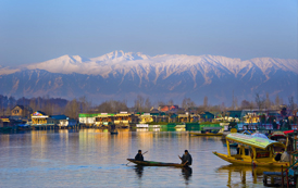  |
1. Zone: Northern 2. Capital: Srinagar Jammu 3. Area: 222,236 (km2) 4. Official languages:Urdu |
1. Srinagar 2. Leh 3. Gulmarg 4. Patnitop |
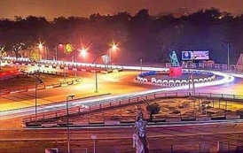  |
1. Zone: Eastern 2. Capital:Ranchi 3. Area: 74,677 (km2) 4. Official languages:Hindi |
1. Ranchi 2. Hazaribagh 3. Deoghar 4. Bokaro |
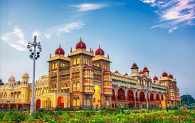  |
1. Zone: Southern 2. Capital: Bangalore 3. Area: 191,791 (km2) 4. Official languages: Kannada |
1. Mangalore 2. Bangalore 3. Bellary 4. Mysore |
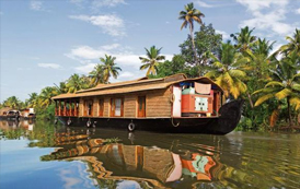  |
1. Zone: Southern 2. Capital: Thiruvananthapuram 3. Area: 38,863 (km2) 4. Official languages: Malayalam |
1. Kochi 2. Thekkady 3. Munnar 4. Kovalam |
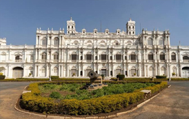  |
1. Zone: Central 2. Capital: Bhopal 3. Area: 308,252 (km2) 4. Official languages: Hindi |
1. Gwalior 2. Indore 3. Bhopal 4. Van Vihar National Park |
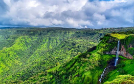  |
1. Zone: Western 2. Capital: Mumbai 3. Area: 307,713 (km2) 4. Official languages: Marathi |
1. Lonavala 2. Mahabaleshwar 3. Panchgani 4. Shirdi |
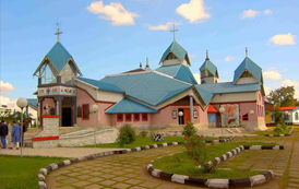  |
1. Zone: North-Eastern 2. Capital: Imphal 3. Area: 22,347 (km2) 4. Official languages: Meitei |
1. Imphal 2. Bishnupur 3. Chandel 4. Thoubal |
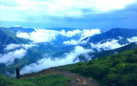  |
1. Zone: North-Eastern 2. Capital: Shillong 3. Area: 22,720 (km2) 4. Official languages: English |
1. Balpakram National Park 2. Ialong Park 3. Laitlum Canyon 4. Mawlynnong Village |
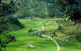  |
1. Zone: North-Eastern 2. Capital: Aizawl 3. Area: 21,081 (km2) 4. Official languages: English, Hindi, Mizo |
1. Champhai 2. Lunglei 3. Serchhip 4. Lawngtlai |
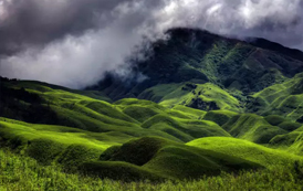  |
1. Zone: North-Eastern 2. Capital: Kohima 3. Area: 16,579 (km2) 4. Official languages: English |
1. Dzukou Valley 2. Wokha 3. Mokukchung 4. Dimapur |
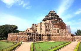  |
1. Zone: Eastern 2. Capital: Bhubaneswar 3. Area: 155,820 (km2) 4. Official languages: Odia |
1. Konark 2. Puri 3. Rourkela 4. Cuttack |
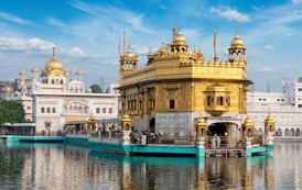  |
1. Zone: Northern 2. Capital: Chandigarh 3. Area: 50,362 (km2) 4. Official languages: Punjabi |
1. Chandigarh 2. Jalandhar 3. Ludhiana 4. Patiala |
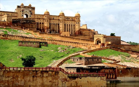  |
1. Zone: Northern 2. Capital: Jaipur 3. Area: 342,269 (km2) 4. Official languages: Hindi |
1. Jaipur 2. Jodhpur 3. Jaisalmer 4. Bikaner |
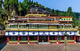  |
1. Zone: North-Eastern 2. Capital: Gangtok 3. Area: 7,096 (km2) 4. Official languages: Nepali, English |
1. Kanchendzonga National Park 2. Tsango Lake 3. Rumtek Monastery 4. Namchi |
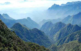  |
1. Zone: Southern 2. Capital: Chennai 3. Area: 130,058 (km2) 4. Official languages:Tamil |
1. Chennai 2. Kanyakumari 3. Mahabalipuram 4. Kodaikanal |
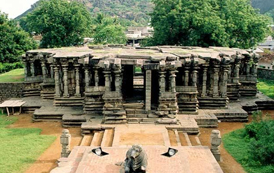  |
1. Zone: Southern 2. Capital: Hyderabad 3. Area: 114,840 (km2) 4. Official languages: Telugu, Urdu |
1. Warangal 2. Hyderabad 3. Karimnagar 4. Nizamabad |
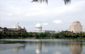  |
1. Zone: North-Eastern 2. Capital: Agartala 3. Area: 10,492 (km2) 4. Official languages: Bengali, English |
1. Udaipur 2. Dharmanagar 3. Agartala 4. Dighi Lake |
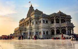  |
1. Zone: Northern 2. Capital: Lucknow 3. Area: 243,286 (km2) 4. Official languages:Hindi |
1. Vrindavan 2. Varanasi 3. Mathura 4. Allahabad |
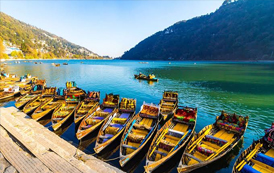  |
1. Zone: Northern 2. Capital: Dehradun 3. Area: 53,483 (km2) 4. Official languages: Hindi |
1. Dehradun 2. Nainital 3. Mussoorie 4. Rishikesh |
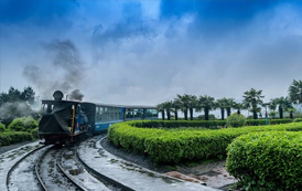  |
1. Zone: Eastern 2. Capital: Kolkata 3. Area: 88,752 (km2) 4. Official languages: Bengali, Nepali |
1. Darjeeling 2. Siliguri 3. Kolkata 4. Bankura |
Interesting Facts:
- Mumbai was formerly known as Bombay till 1995. Mumbai is the financial, commercial and entertainment capital of India.
- It is also one of the world’s top ten centres of commerce in terms of global financial flow, generating 6.16 per cent of India’s GDP.
- In 1972, after the formation of Meghalaya as an independent state, Shillong became its capital.
- Aizawl is the political and cultural centre of Mizoram. It is here that the State Legislature is situated.
- It is also the commercial hub of the state and all commercial and economic activities are centred around the city.
- The name Gangtok is derived from a Tibetan word, which means ‘hilltop’ or ‘top of the hill’.
- Telangana was constituted as the 29th state of India on June 2, 2014.
- Hyderabad was the joint capital of Telangana and Andhra Pradesh until 2015.


